Overview
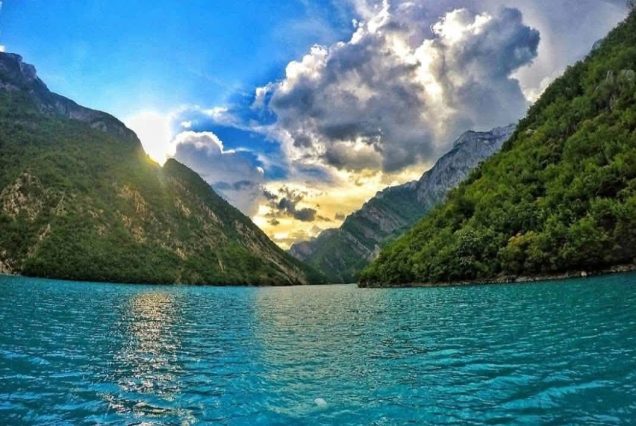
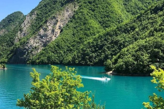
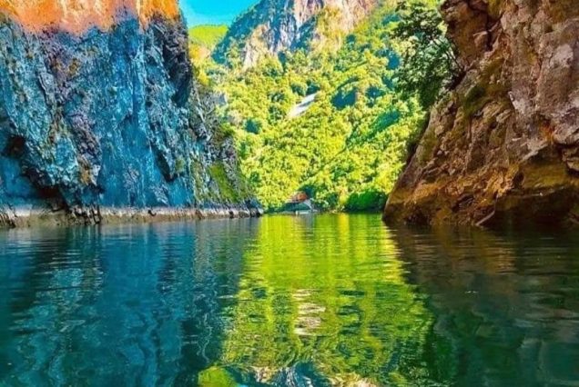
Lake Koman is a reservoir on the Drin River in northern Albania. Lake Koman is surrounded by dense forested hills, vertical slopes, deep gorges, and a narrow valley, completely taken up by the river. Besides the Drin, it is fed by the Shala and Valbona Rivers. The lake stretches in an area of 34 km2, its width being 400 m. The narrowest gorge, which is surrounded by vertical canyon walls, is more than 50 m wide. The reservoir was constructed between 1979 and 1988 near the village of Koman with a height of 115 m.
Sights

Map
Info
Lake Koman was artificially built by the communist regime to obtain electricity through the use of hydropower plants. The lake formed by the construction of dams on the Drin River, not only supplies the country with electricity, but has become one of the best tourist attraction that Northern Albania can offer. The mountains on both sides of the road are from 1,000 to 1,500 feet high, the scenery is magnificent, the terrain untouched for centuries.
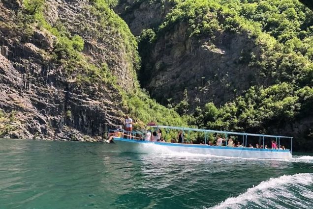
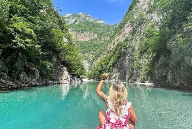
In fact, it looks much more natural than most such lakes. It is so calm and you can experience this feeling on your trip. If you choose to travel by boat you have the opportunity to extend your hand in the water and experience for yourself this feeling of calm that the lake offer.